BPP are committed to providing a quality, timely and reliable service.

Bushfire Attack Level (BAL) Assessments
Bushfire Management Plans (BMP) and Bushfire Hazard Assessments (BHA)
Bushfire Emergency Evacuation & Response Plans

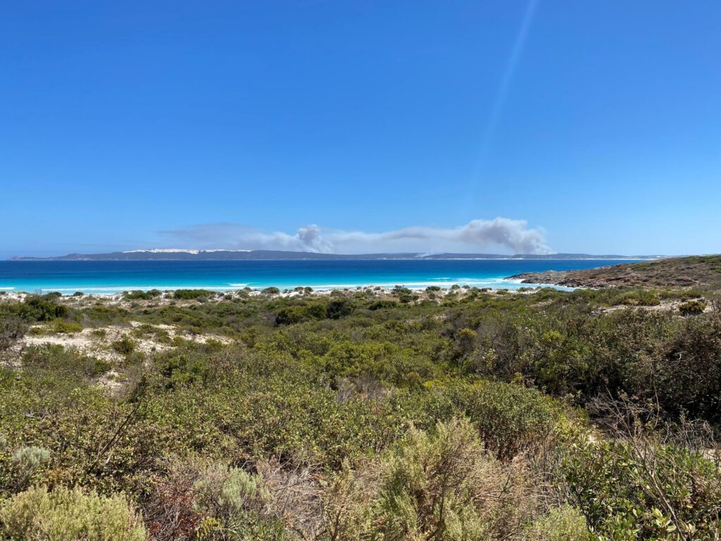
Bushfire Risk Assessment and Treatment Planning
Bushfire Training and Education
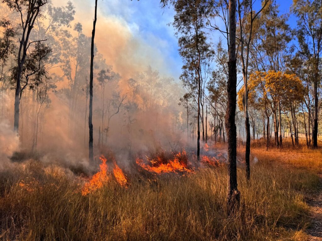
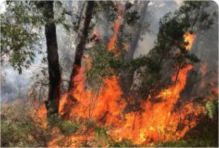
Planned and Prescribed Burning
Fuel Load and Hazard Assessments
Legal, Insurance & Expert Witness Services
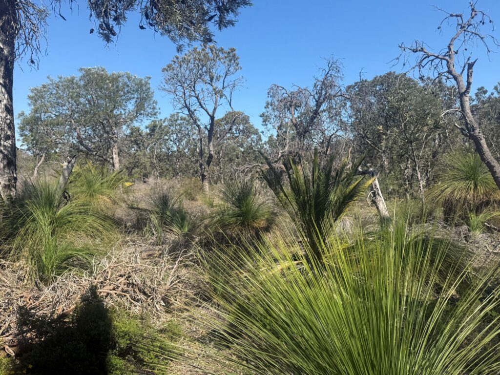
Land and Reserve Management

Environmental and Landscaping for Bushfire
Other Bushfire Consulting Services
The BPP Process
Our customer focused approach means we work with clients to produce a personalised solution, creating a product that: meets specific project needs; is legally compliant for all the various planning approval bodies; and ensures project timeframes are upheld.
By offering flexible and customisable services, we are also able to find the solution that best fits your needs. We pride ourselves on delivering a high quality product, at an affordable price.
Experienced Assessors
The new Western Australian Guidelines recommend the use of a BPAD accredited Bushfire Assessor to complete BAL assessments and Bushfire Management Plans. BPP has FPA Australia BPAD Level 1, Level 2 and Level 3 Accredited Assessors in its team.
Projects
-
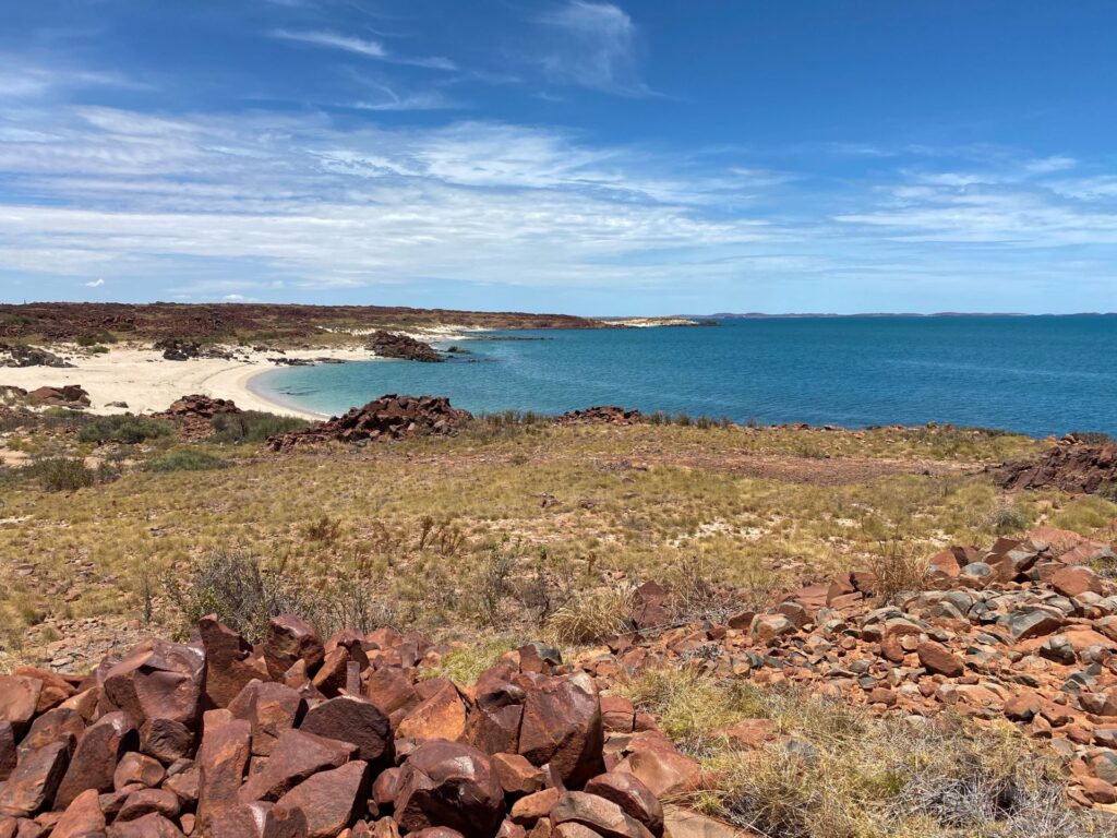
City of Karratha BRMP
BPP have completed an exciting new phase of work which builds upon a wealth of bushfire experience within the team, with the completion of the City of Karratha Bushfire Risk Management Plan.